Description
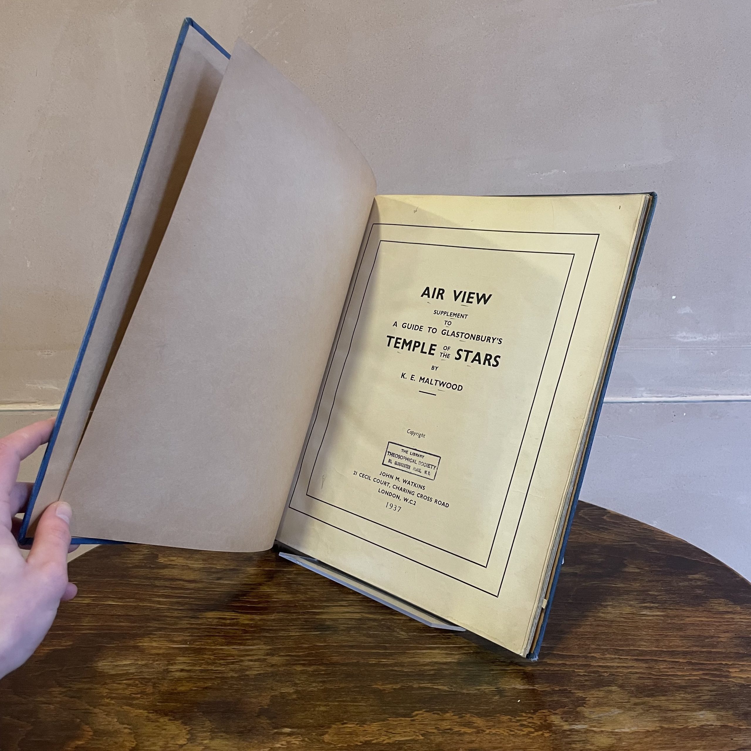
Air View: Supplement to A Guide to Glastonbury’s Temple of the Stars
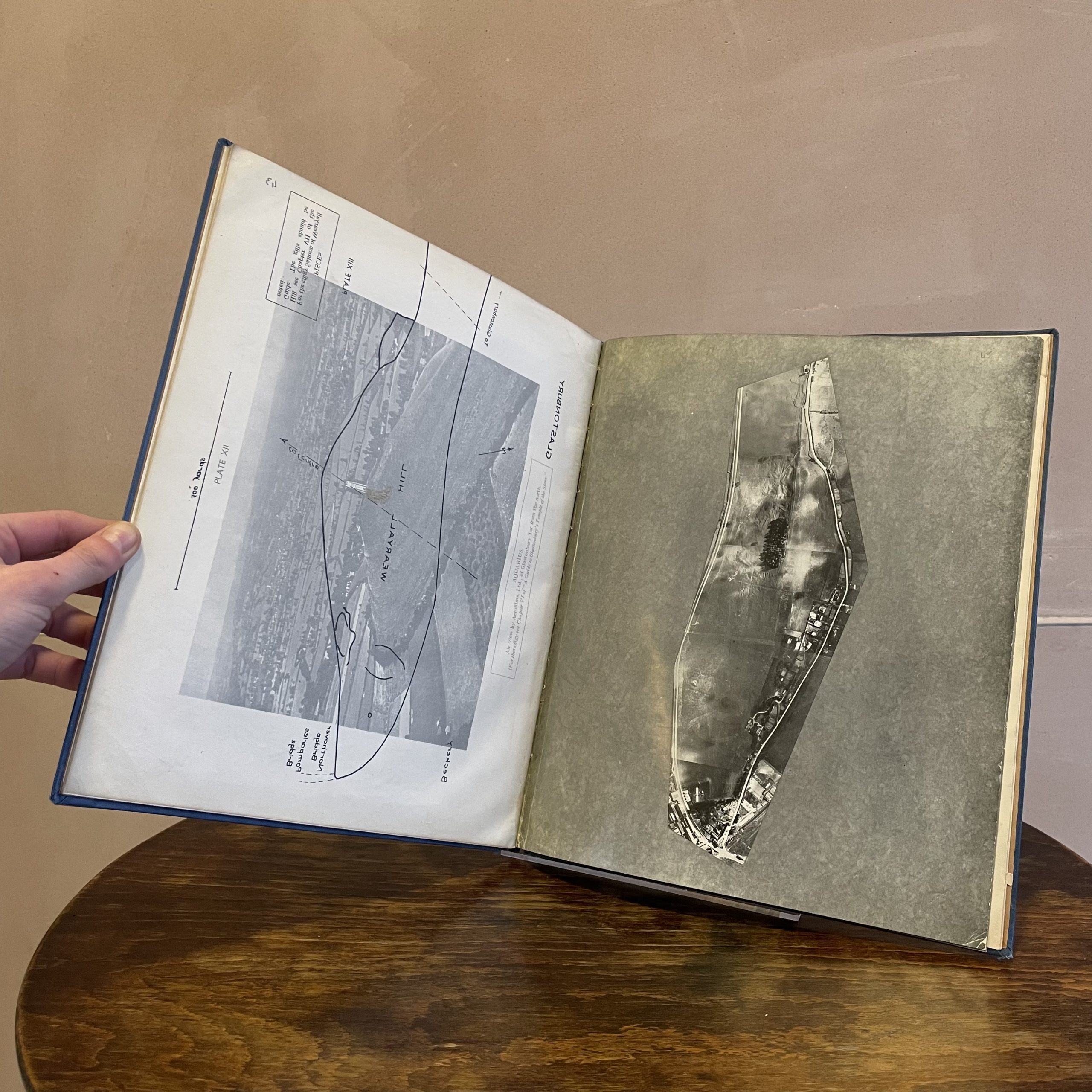
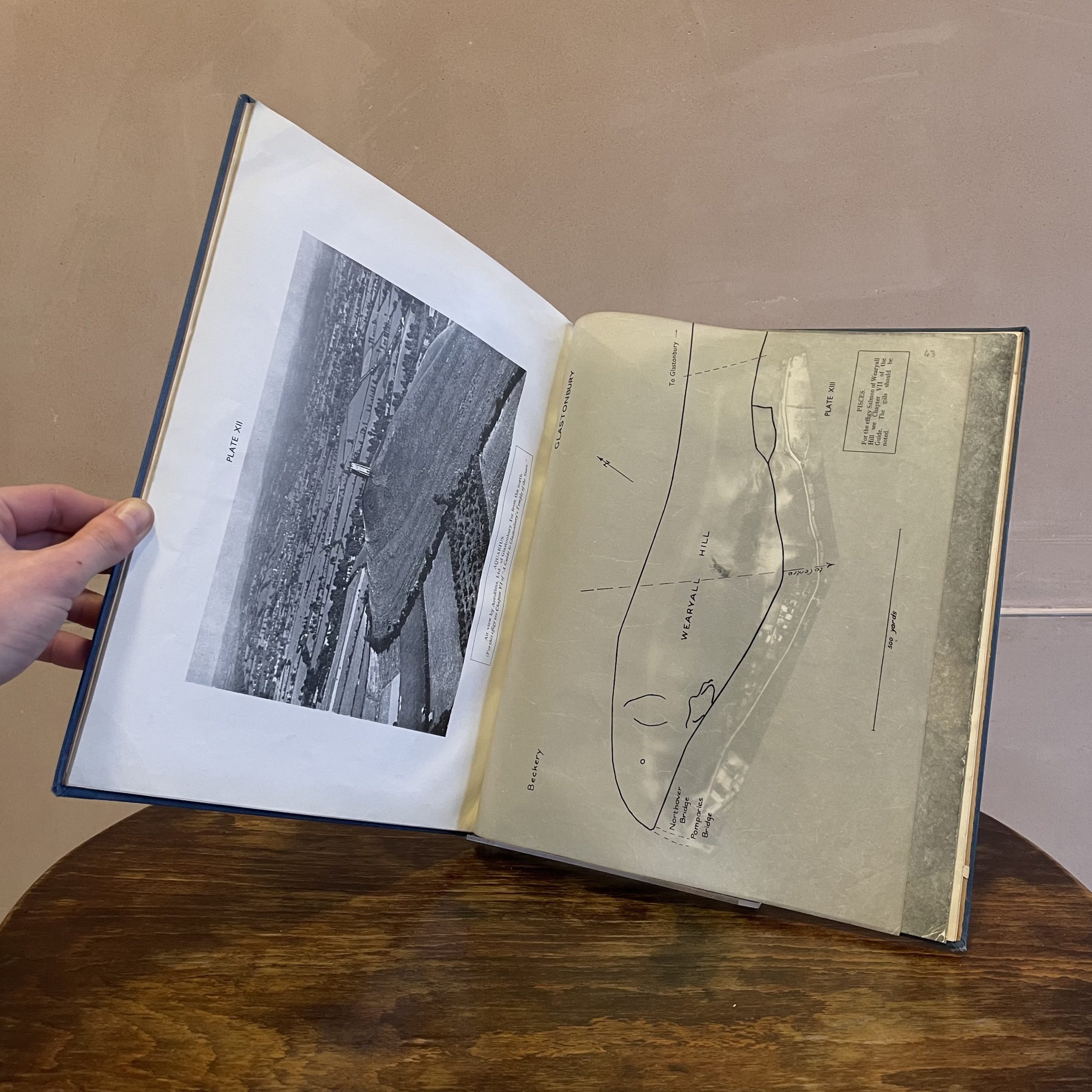
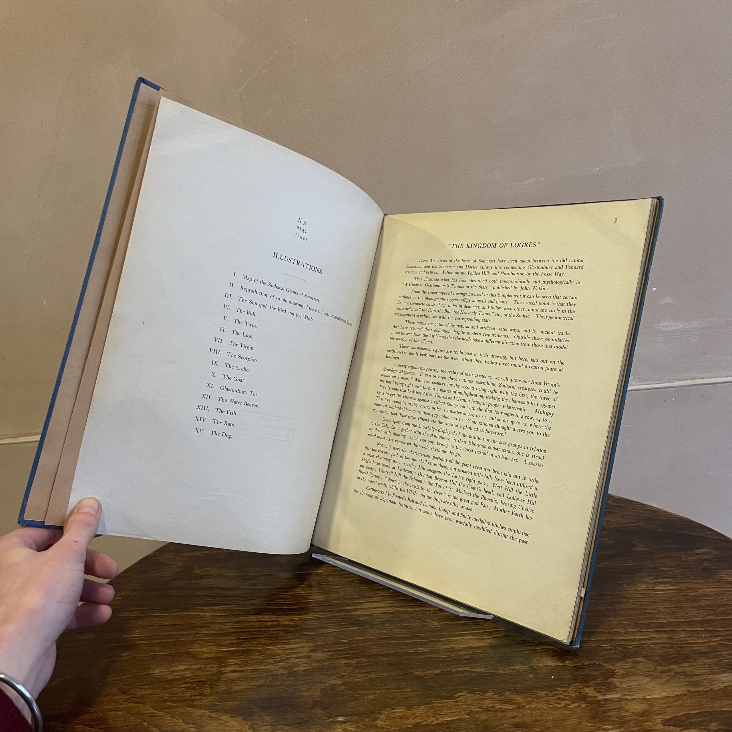
These Air Views of the heart of Somerset have been taken between the old capital, Somerton, and the Somerset and Dorset railway line connecting Glastonbury and Pennard stations, and between Walton on the Polden Hills and Hornblotton by the Fosse Way.
They illustrate what has been described both topographically and mythologically in “A Guide to Glastonbury’s Temple of the Stars,” published by John Watkins.
From the superimposed tracings inserted in this Supplement it can be seen that certain outlines on the photographs suggest effigy animals and giants. The crucial point is that they lie in a complete circle of ten miles in diameter, and follow each other round the circle in the same order as ” the Ram, the Bull, the Heavenly Twins,” etc., of the Zodiac. Their geometrical arrangement synchronises with the corresponding stars.
These forms are outlined by natural and artificial water-ways, and by ancient tracks that have retained their definition despite modern requirements. Outside these boundaries it can be seen from the Air Views that the fields take a different direction from those that model the interior of the effigies.
These constellation figures are traditional in their drawing, but here, laid out on the earth, eleven heads look towards the west, whilst their bodies pivot round a central point at Butleigh.
Air View: Supplement to A Guide to Glastonbury’s Temple of the Stars, K. E. Maltwood, John M. Watkins, 1937
Hardcover. Blue cloth binding. Gold embossed lettering to spine. Some wear to the edge of the top and bottom spine. Small black mark on spine. Formerly belonging to the Theosophical Lending Library, Gloucester Place. Library stamps text block, end paper, title and first page.
